The camera away from home
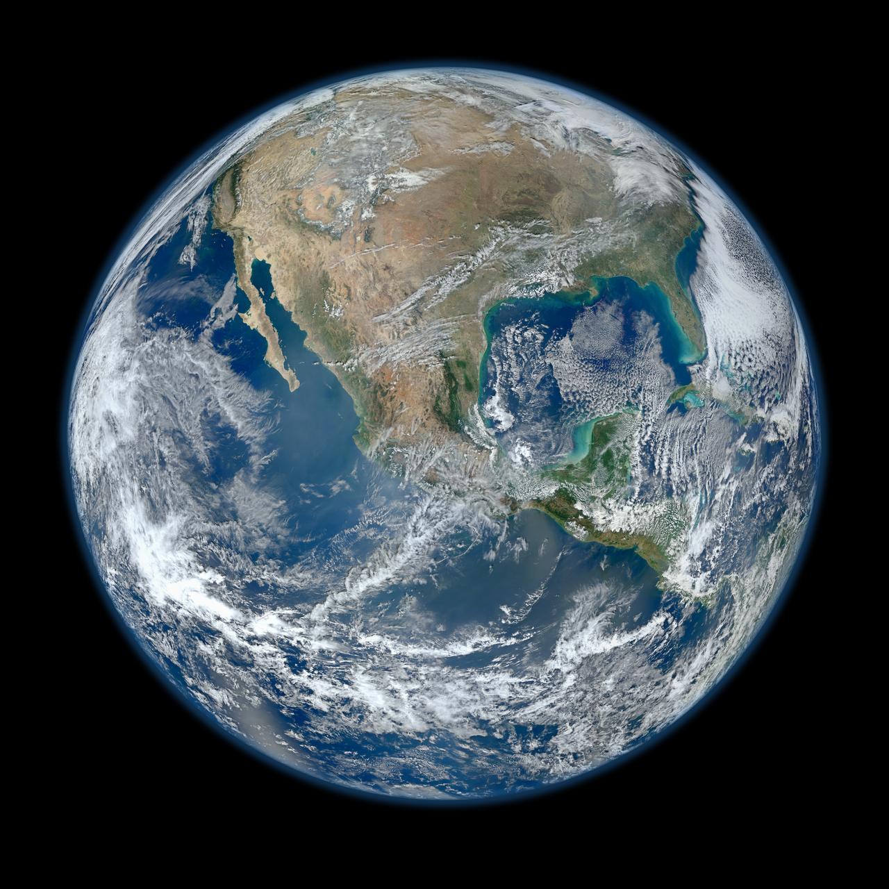
The Earth Polychromatic Imaging Camera, EPIC, observes Earth from the DSCOVR spacecraft near the Sun–Earth L1 region. Its vantage point allows it to see the sunlit face of our planet rather than a small patch beneath a low-orbit satellite.
The result looks familiar: oceans, land and white clouds in a dark frame. But reading the image carefully starts with metadata, not just the picture.
Capture time is not refresh time
Mission Log displays the capture date supplied by EPIC. It also shows when our server fetched the metadata. Those are different clocks. A request made today may return imagery captured several days earlier.
Calling that a live camera feed would be misleading. The Earth explorer says latest available imagery and lets you move through the available frames. When the service has no image for a selected date, the interface should say so rather than substitute another day without telling you.
Natural and enhanced
EPIC provides different image products. Natural-colour imagery aims at a familiar view. Enhanced imagery applies processing that makes particular features easier to see. Neither should be treated as a view from a person’s window.
The source metadata also describes the image centre and spacecraft position. The coordinates are useful context, but a single visible image does not support every inference about a weather system or a climate trend. Those require appropriate measurements and analysis.
Take the whole view
A full-disc picture is a good place to begin asking questions: which hemisphere is facing the camera, how cloud patterns change between frames, and how the lighting varies. Then follow the EPIC source to learn what the instrument actually measures.
The image brings the planet into one frame. The timestamp and product description keep that perspective honest.